Impact
Maine’s island and coastal communities are invested in creating strong leadership and maintaining social resilience through times of change.
 At the Island Institute, we understand the importance of leadership in addressing today’s most pressing issues. Through our work, we seek to ensure that Maine’s island and coastal communities are invested in creating strong leadership and maintaining social resilience through times of change.
Visit our Leadership page to learn more about our leadership model and how we’re mobilizing courageous leaders in Maine.
Goal
By 2030 the Community Resilience Index improves by 5% for the coastal counties of Maine
Year
2030
Measurement
The Community Resilience Indicator Analysis (CRIA), through FEMA’s Resilience Analysis Planning Tool (RAPT) is a county-level relative assessment of resilience utilizing 20 commonly used indicators from peer-reviewed research. Our analysis examines the data for the 10 coastal counties in Maine.
(Source: United States Census Bureau American Community Survey and other federal data resources)
Resilience Analysis and Planning Tool
The Resilience Analysis and Planning Tool (RAPT) is a free GIS web map from FEMA that allows federal, state, local, tribal and territorial emergency managers and other community leaders to examine the interplay of census data, infrastructure locations, and hazards, including real-time weather forecasts, historic disasters, and estimated annualized frequency of hazard risk.
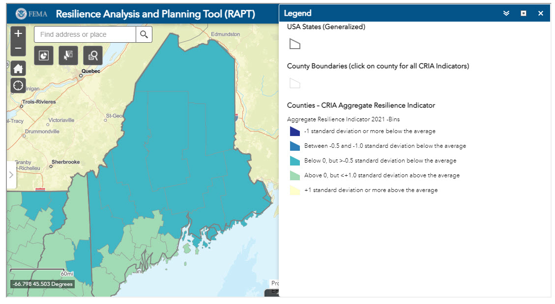
Community Resilience Indicator
While there is no absolute measurement of resilience, the Community Resilience Indicator is a county-level relative assessment of resilience utilizing 20 commonly used indicators from peer-reviewed research. The graph below highlights the assessed resilience of the 10 Maine coastal counties: Washington, Hancock, Kennebec, Waldo, Lincoln, York, Androscoggin, Sagadahoc, Cumberland, and Knox.
