By Meghan Grabill
Geography. Sigh, right? Sitting in that classroom back in sixth grade, memorizing the names of states and the capitals of countries around the world. Boring! But knowing place names is only a small part of what geography is about.
Location is the underlying principle of geography and it’s what differentiates it from most other disciplines. Where an object is located in space may seem trivial, now that almost everyone carries a digital atlas in their back pocket, but it really is an amazing power our smart phones have helped us exploit. It is hard to imagine the difficulties faced by explorers before modern advancements in measuring and mapping the Earth’s surface.
Geography is also about the relationships between objects and locations. This is more profound than you might think.
Have you noticed how cattails grow in wet areas? This is a relationship between a location, a wetland, and an object, in this case, a cattail. These are simple examples where the relationships can reveal additional information about objects and location.
Geography is about understanding and using these relationships to make decisions. For example, if you notice a stand of cattails, it’s a safe bet there is standing water nearby. These geographic relationships influence our daily lives. Do you have a mental map of your favorite restaurants or hiking trails? This is a simple application of mapping.
When you picked your current residence did school district, proximity to work and amenities, or the town have anything to do with your decision? This is an exercise in site-suitability analysis for your family’s needs. It compares the characteristics of different locations and the best option is selected given the preferred inputs.
Do you use the roads to get from point A to point B each day? This is a network analysis, one that detects the optimal way to get from one place to another on a system, like a road network.
Mapping, site suitability analysis, and network analysis are just some of the geographic practices that affect our lives.
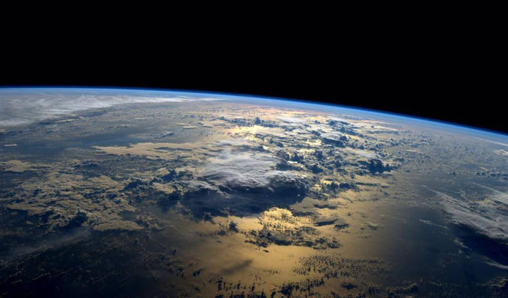
Different types of analysis that use geospatial data can be applied to a variety of problems faced by communities. The health and type of vegetation is assessed from spectral data and is used in forest management. Models of sea level rise projects can be created based on digital elevation models to identify areas at greatest risk of inundation.
Orthoimagery gives visual information about the natural and manmade resources on the ground assisting in public safety planning, infrastructure identification, land parcel mapping, and more. Geospatial data of streets, utilities, and other objects in a community help local governments maintain assets and allocate resources.
While geographic data can reveal an enormous amount about a variety of problems faced by communities, it can be expensive and time consuming to accumulate. Collecting remotely sensed data requires high-quality equipment on airplanes or satellites with the right environmental conditions (appropriate lighting, limited leaves on trees, no snow, etc.).
Data about the characteristics of places requires field surveys of objects and people. Data that is collected from many different sources like the property parcel information require cleaning, synthesizing, and maintenance to make a single, aggregated dataset useful.
Although data is expensive to collect, examples of great cost-savings have been realized through a strong data collaboration program at the state and federal levels.
The benefits of a strong data collaboration program are the opportunities it provides to communities. With better information about the true characteristics of our local geography, greater effectiveness of decision making can be achieved.
Better access to data can also make the use of resources more efficient by identifying where the problem is and sending the correct amount of aid to that location, thereby not wasting resources in other areas.
Finally, better geospatial data can help with the prioritization of projects based on analysis that shows where the need is greatest.
The geography of our local environment may not be something we think about daily, but it is an inherent part of the human experience. By harnessing its potential power through a well-planned and appropriately funded data collaboration program, our coastal and island communities will be empowered through access to information and knowledge—and not the kind that comes from knowing the capital of Paraguay. Which, by the way, is Asuncion.
Meghan Grabill is acommunity development officer with the Island Institute, publisher of The Working Waterfront, working on data analytics and translation.


