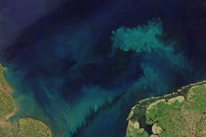
Our blue planet is becoming greener, which may indicate that climate change is reshaping surface ocean ecosystems, says a global study co-authored by a University of Maine oceanographer that was published in Nature recently.
The research team, led by scientists from the United Kingdom-based National Oceanography Centre and including UMaine oceanography professor Emannuel Boss, used 20 years of global MODIS-Aqua satellite data to track how the amount of green plankton at the ocean’s surface changed over time.
Ocean research powered by color-sensing satellites traditionally use a single data parameter derived from phytoplankton’s green color. Other factors, like decaying matter and mineral particles, can also affect the light emanating from the ocean, diluting the data. This approach is thought to require more than 30 years of continuous monitoring to detect climate-driven change.
The NASA-funded study is the first to harness data from seven bands of color reflected by the sunlit ocean. This reduced the time required to discern changes that can only be attributed to climate change by one-third, to 20 years.
The team observed that, in general, oceans are greener worldwide, especially in tropical regions, which they reported is likely reflective of changes to plankton communities.
Plankton is the bedrock of the marine food webs and carbon storage. Understanding current and future changes to this bastion of marine life at a global scale can inform ocean conservation programs, the authors concluded.
“It’s the first evidence that ecosystems on the surface of the open ocean are changing on a large scale,” the researchers wrote.
“Fundamentally, we’re developing methods to be able to better observe the planet, to understand how the global ecosystem is changing. This is the only tool with which we can observe the whole ocean ecosystem on a quasi-daily basis, to see something about how it is changing,” says Boss, who led the interpretation of color data for the study.
The international collaboration behind the study grew, in part, from a NASA-funded ocean optics course that Boss and colleagues teach every other summer in Maine.
“The ocean optics course changed my career trajectory. This paper, as with others I have published with colleagues I met there, would not have ever come about if not for that summer course,” said the study’s lead author, B. B. Cael of the National Oceanography Centre.
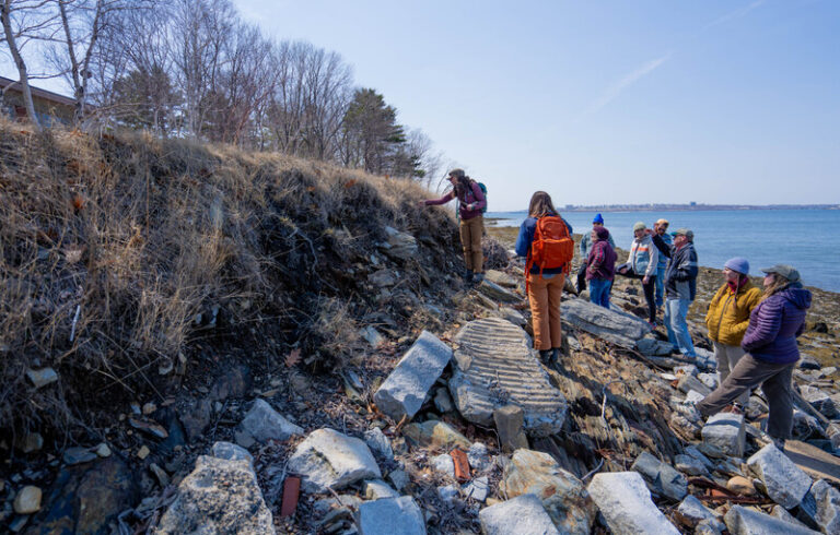
Cael, as well as co-author Kelsey Bisson of Oregon State University, completed the course in 2015. The NASA-funded course, which UMaine faculty and colleagues have coordinated and taught in Maine since 2001, hosted up and down Maine’s coast including at UMaine’s Darling Marine Center.
In the Gulf of Maine, Boss and other UMaine oceanography faculty including Damian Brady, hone this global, space-based approach to help identify site locations for aquaculture.
“We can see the coast — the whole coast. Instead of putting resources in the water in every nook and cranny, we use remote sensing technologies and develop algorithms to tell us what is happening in the water. By using these space-based assets, we’re able, in a cost-effective fashion, to tell people where to put oyster farms,” Boss says.
Co-author Stephanie Henson was a postdoctoral researcher in the lab of UMaine professor Andy Thomas prior to her current role at the National Oceanography Centre. Stephanie Dutkiewiczof the Massachusetts Institute of Technology also contributed to the study.