Coastal property owners may be in for a surprise when their home insurance is up for renewal. Damages to homes from this winter’s high winds, storm surges, and driving rain has meant higher premiums and canceled policies in some zip codes.
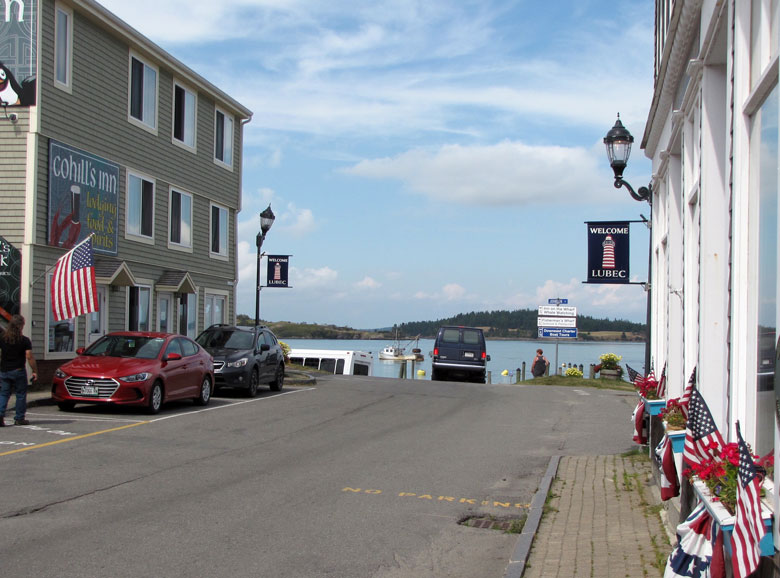
Roger Quirk of Lubec learned that one company no longer insures any real estate in his zip code.
“I didn’t realize insurance companies could say ‘no,’” he said. Quirk eventually found property insurance with a regional agency with knowledge of where his property is located and the risks, or lack of, from increasingly challenging weather.
Climate change is having an impact on properties in zones now considered risky but also on properties that aren’t at risk, explains Paul McKee, president of the Maine Association of Realtors. Flood zone maps are being updated for Washington County later this year, he notes.
Roger Quirk of Lubec learned that one company no longer insures any real estate in his zip code.
“That will certainly have an impact,” he says. “A lot of [coastal] properties will now be in flood zones. We’re seeing more flooding, dangerous winds, and houses having been built close to the ocean seeing increased damage and increased claims.”
Even properties not near flood zones are being affected by the change in insurance policies. McKee describes a real estate transaction he is working on in southern Maine. The property is on a high hill and in no danger of any flooding but like many older Maine houses, its basement is damp. The mortgage underwriter then wanted to research whether the dampness was a threat to the building.
What once was common for old homes in New England is now a possible obstacle to securing a mortgage and insurance.
Eastport’s historic Hobbs house, located in the middle of the city’s residential area and well above the flood zone, has not been without its own insurance hiccups. Owner James Pollowitz has been renovating and restoring the Federal era house and used Lloyd’s of London during the construction phase. Once the construction phase was complete it was difficult to find an insurer.
“I tried eight or nine insurance companies, all leads from neighbors,” he says. Agents “were sticklers for lead and peeling paint. I’m finding that most companies have no interest in historic homes,” particularly when they are secondary homes, as is the case with the Hobbs house.
“The whole market is completely changing because of climate change. Winds are a huge factor,” says Pollowitz. “They’re getting huge numbers of claims on houses that probably shouldn’t have been built where they are.”
Compounded by the larger national insurance issues of fire, hurricanes, and tornadoes that are influencing insurance company decisions, Washington County’s demographics don’t help, he adds. The insurance company’s replacement cost for the Hobbs house would be in the millions, a price tag that isn’t realistic for the area.
“That tipped the scale to be excluded” from being insured. He finally found a local agent “who was wonderful and very supportive.” The trend is for insurance companies to divest of coastal properties, Pollowitz was told.
Property buyers and sellers need to be aware of the changing insurance market, says McKee.
“We are seeing more and more challenges,” he notes, “even in properties that aren’t close to flood zones.” Those changes are happening almost weekly, he adds.
Prospective real estate buyers “need to research insurance at the beginning of the due diligence phase, not at closing. You better get it then, because you need to be able to get out of the contract if you can’t get insurance or the premiums are too high.”
McKee recommends property owners and buyers regularly check the Federal Emergency Management Agency flood zone maps to see if current or potential property is located within flood zones. FEMA has web-based interactive maps that can be searched by address, zip code, or region at msc.fema.gov/portal/search or on the website of the Maine Department of Agriculture, Conservation, and Forestry’s mapping resources on the floodplain management page.
A longer version of this story first appeared in The Quoddy Tides and can be viewed at QuoddyTides.com. It is reprinted here with permission and gratitude.