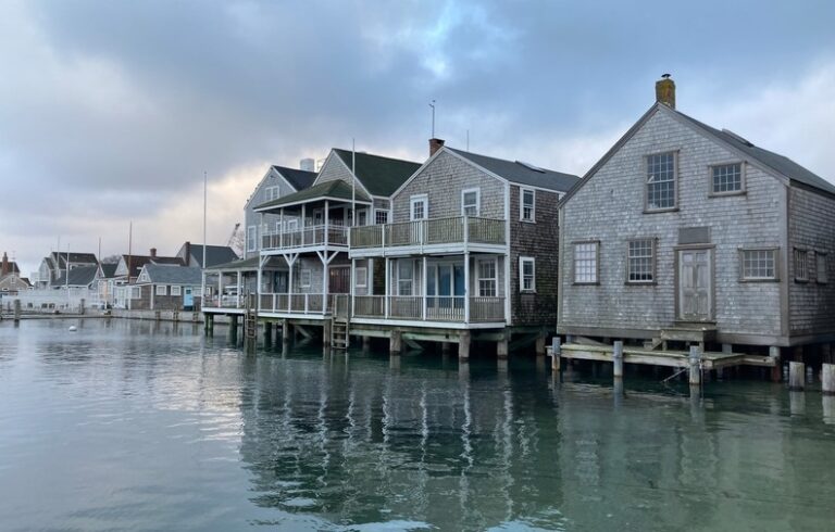
Anyone living near the ocean knows the coastline changes often with the tides and the seasons, and that it can be difficult to keep track of the coast’s “normal” appearance. With climate change, it becomes even more difficult to distinguish between the normal historical flux of the coast and a fundamental reshaping.
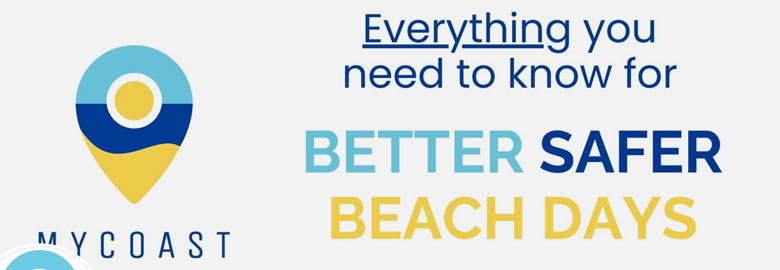
MyCoast is a digital platform that helps people document coastline changes. Coastal residents and visitors who download the app can upload photos that provide crowdsourced evidence of storm damage, coastal debris, extreme high tides, and beach erosion along the U.S. coast. Some 17,000 users have submitted 58,000 photos and generated 39,000 reports of coastal change, flooding, or debris.
MyCoast also has partnered with seven states, the U.S. Virgin Islands, and a Connecticut community on specific coastline documentation projects. In New England, the platform is currently working with the states of Massachusetts and Rhode Island to document storm damage, coastline adaptation, and flood hazards.
Enlisting citizens to document damage after a storm or flood multiplies the abilities of officials to document damage.
Currently, MyCoast doesn’t have a formal partnership with Maine, but individual users have uploaded reports of exceptionally high tides in Bar Harbor and Portland.
The platform was co-created by Wes Shaw, a coastal hazard policy expert, and Chris Rae, a programmer. They say that enlisting citizens to document damage after a storm or flood multiplies the abilities of officials to document damage.
In Bristol, R. I., for example, a search of photos shows how high tide can creep dangerously close to a shoreline road, and then how that same road can be strewn with rocks from flood damage.
On MyCoast’s Massachusetts page, there are photos of the streets of Salisbury awash with flooding, as well as efforts to prop up a Salisbury beach house. Such photos can help communities and state agencies provide evidence of the effects of flooding and erosion which can prove useful when competing for funding for coastal adaptation projects, they said.
Another value of the platform, Rae said, is that it gives people a tangible way to interact with the effects of climate change along the coastline.
“Quite a few of the projects that people are running on MyCoast are as much about getting people interested in being involved in this, keeping track of this, and caring about it as they are about collecting data for science,” Rae said.
Such crowdsourcing may also offer an early-warning system for invasive species.
In Washington, for example, some MyCoast users opted in to receive specialized training to monitor for European green crab in Puget Sound; the crabs already are being seen on Washington’s outer coast. These crabs outcompete native crabs while also destroying seagrass and shellfish beds.
To look for the crab, trained MyCoast users look for and measure empty molting crab shells. Shaw was pleasantly surprised by the enthusiasm of area residents to hunt for the invasive species and said that the reports provide valuable insight for the state.
“We have a large number of reports, a surprising number of reports for something so technical,” Shaw said. “There’s no remote sensing way to do this very easily. You need people out looking.”
What TO Read Next...