You may have seen Island Institute’s efforts to protect funding for the National Oceanic and Atmospheric Administration through a campaign we’re calling “NOAA ’bout it! Speak up about it!” As part of that effort, people are sharing stories about how they use NOAA tools and data in their everyday lives.
The executive branch’s 2027 budget proposal would cut $1.6 billion from NOAA, including complete elimination of the National Sea Grant College program and the Integrated Ocean Observing System.
These cuts would take many important tools away from states like Maine, which relies on federal data to safely use and protect its nearly 3,500 miles of tidal coastline and the waters of the Gulf of Maine.
I would need an entire diary to log all the ways I engage with data and people supported through NOAA. So, here I’ll focus on the NOAA assets I interacted with just in the last week.
First, like many Mainers, I like to spend as much time as I can outdoors, so I use forecasts from NOAA’s National Weather Service pretty much every day. Last weekend, I paddled a tidal river. It was critical to prepare for this by looking up the agency’s data on tides, currents, and wind.
For work one evening, I went out to Chebeague Island to give a presentation on changes in the Gulf of Maine. This came at the tail-end of the nor’easter hitting the region, so I referred to the NWS storm prediction tracker to ensure my ferry wouldn’t coincide with a high tide and any surge brought in from the storm.
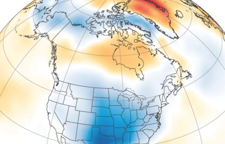
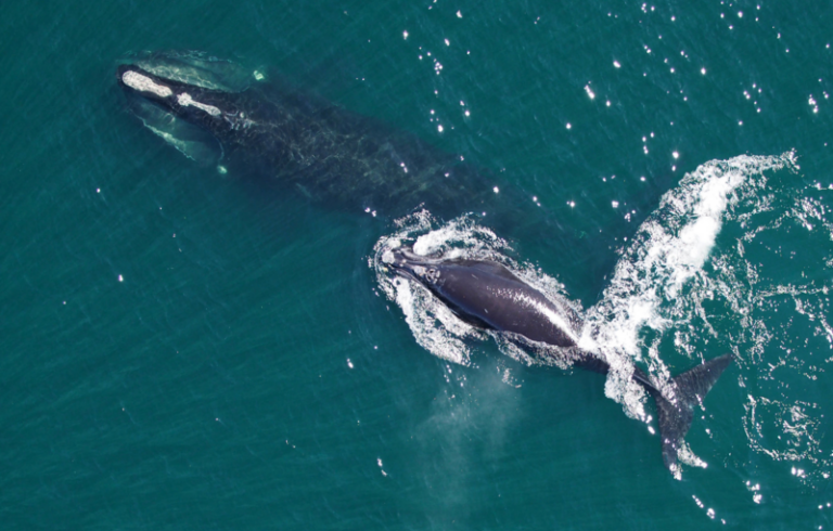
In a 45-minute talk, I pulled from more than a dozen individual NOAA data sources. Much of the talk focused on changes in commercial fisheries landings, which are collaboratively tracked by NOAA Fisheries and Maine Department of Marine Resources. I drew from NOAA’s National Centers for Environmental Information to discuss statewide precipitation trends dating back to 1895. I explained sea surface temperature using another NOAA dataset that integrates long-term observations from satellites, ships, buoys, and other instruments. I referred folks to WhaleMap.org, an interactive online map of the latest right whale observations that uses data from NOAA’s Protected Species branch and other sources.
I couldn’t resist sharing a tool new to me: a NOAA satellite that shows chlorophyll fluorescence, which has been used to track the recent Karenia mikimotoi bloom in the Gulf of Maine. The bloom turned ocean water brown and harmed marine species by reducing oxygen levels on the seafloor of coastal bays.
Beyond those specifics, I referenced papers and reports that cite NOAA data countless times.
Later in the week, I attended the State of Casco Bay meeting, hosted by Casco Bay Estuary Partnership (a group funded largely by guess who? Not NOAA, but the EPA, another important federal agency for another column). Casco Bay, we know, is an economic driver, with 10% of Cumberland County’s jobs related to the ocean. NOAA had tendrils in much of what was discussed at this conference: tide gauges used to track sea level rise, programs that monitor eelgrass, water quality, climate indicators, and more.
I’m also editing a manuscript about the changing federal science landscape, for which we conducted an audit of the 2024 “Scientific Assessment of Climate Change and Its Effects in Maine” produced by the Maine Climate Council’s Scientific and Technical Subcommittee. Of the more than 150 references to federal science assets, 58 were connected to NOAA.
States rarely have the fiscal capacity or technological infrastructure to replicate national data pipelines, and smaller, rural municipalities—the kind Maine is full of—rely more heavily on these federal products and partnerships. Accumulating cuts to agencies like NOAA result in planning failures and localized socioeconomic impacts. This scientific infrastructure is not superfluous, but rather the baseline prerequisite for effective planning and resilience.
Mind you, this column touched on an average week for me, so only a fraction of my full interaction with NOAA. Yes, I’m a NOAA nerd, but fortunately I’m not alone. Check out “NOAA ’bout it! Speak up about it!” Don’t let the tools we rely on be silently weakened.
Susie Arnold is the senior ocean scientist at Island Institute, publisher of The Working Waterfront. She may be contacted at sarnold@islandinstitute.org.