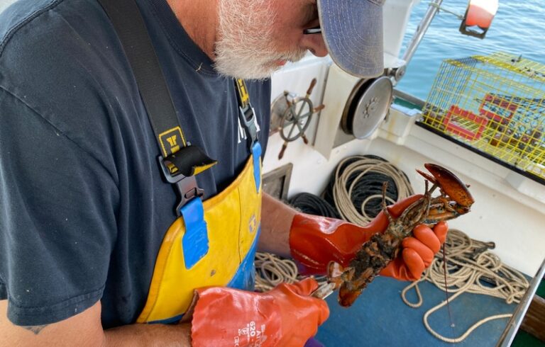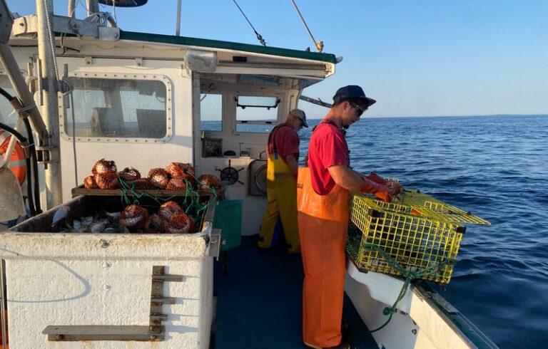
Whether they know it or not, New England fishermen have been sharing the Gulf of Maine with autonomous surface vehicles (ASVs).
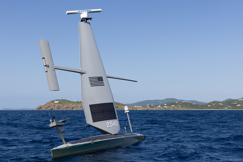
Built and deployed by Saildrone, a California-based marine research and defense company, these uncrewed vessels traversed the gulf’s waters in 2023 and 2024 to map parts of the ocean floor.
The drones, which rely on wind and solar power, are monitored around the clock by trained operators on the mainland. They generally feature a narrow hull connected to an upright section that resembles a sail and helps capture the wind, but is closer to an airplane wing in design.
And now, it seems, those vessels have a new mission in the Northeast.
The California maritime tech company announced in May it had signed a $15.5 million contract with the U.S. Coast Guard to deploy 16 of its Voyager-class vessels to patrol the Great Lakes and Northeast coast. In the north Atlantic, the fleet will monitor for illegal, unreported, and unregulated fishing. The 33-foot-long vessels will also patrol the Great Lakes, and monitor for drug smuggling and other illegal activity in both areas.
That surveillance mission has raised some concerns among privacy advocates. Petra Molnar, a faculty associate with the Berkman Klein Center for Internet and Society at Harvard University, worries the vessels controlled by the private company will sweep up personal data unrelated to active investigations. That data can then be turned over to the U.S. government.
“This type of model raises the same accountability questions in every region these vessels enter,” Molnar said in an email. “Who actually controls the data once it is collected, and what happens to the data beyond the stated mission of these projects?”
Jenn Virskus, a Saildrone spokesperson, told The Working Waterfront that the company could not share details about its contract with the Coast Guard, and does not have a role in how the information may be used once gathered.
“Saildrone does not independently determine how Coast Guard mission data is used, retained, or disclosed,” Virskus said in an email. “For Coast Guard missions, the data collected is customer-directed and belongs to the customer, in this case, the U.S. Coast Guard.”
Some boaters have also expressed worry about the drone vessels. In a recent report in The Guardian, Ryan Weekes, the leader of Cleveland-based InterCity Yacht Club, said their presence raises concerns. He called for transparency whenever new surveillance technology is deployed.
A Coast Guard spokesperson countered that the Saildrone mission represented “a proactive mission to further strengthen maritime domain awareness, surveillance, and safety throughout the region,” according to the report.
The Coast Guard did not respond to a request from Working Waterfront for comment.
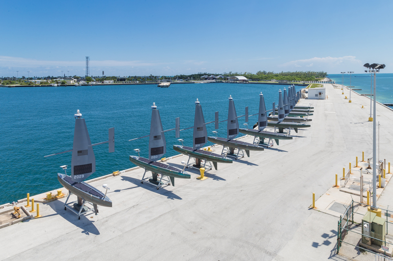
Saildrone has been doing similar surveillance work for the U.S. government off the southern coast of the United States, deploying some 20 Voyager drone vessels to monitor for illegal activity.
The company also is developing a new class of vessels, the Spectre, its first designed to carry offensive capabilities. In October 2025, Lockheed Martin announced it would invest $50 million in Saildrone to equip the Spectre drones with missile launchers.
Overall, Saildrone has built out more than 130 uncrewed vessels of various sizes for defense and research work.
Less controversially, the company is continuing its multiyear partnership with NOAA to gather data on hurricanes. It will send out 10 of its sturdy, 23-foot-long Explorer drones into stormy waters this summer. The vessels will gather information on how hurricanes form and how they change once formed, said Kitch Kennedy, Saildrone’s senior director for ocean mapping programs.
Perhaps the company’s most ambitious work in the Gulf of Maine to date has been its mission to survey more than 1,100 square nautical miles of the ocean floor in 2023 and 2024. For this, the company equipped two Voyager ASVs with long-range multibeam sonar sensors to measure the depth and shape of the ocean floor, as well as other metrics such as water temperature and salinity.
Drones have the potential to fill in extensive knowledge gaps about the shape and contours of the ocean floor, according to Jesse Minor, program lead for the Maine Coastal Mapping Initiative with the Maine Department of Marine Resources. The Gulf of Maine is vast, and the existing mapping products often are antiquated or incomplete.
“There are parts of Casco Bay that were last charted in, like, the 1870s from sailboats, and parts of Penobscot Bay that have never been charted,” Minor said.