This page was published in 2020. Please be aware that some data and other information on this page may no longer be accurate.
QUICK FACTS
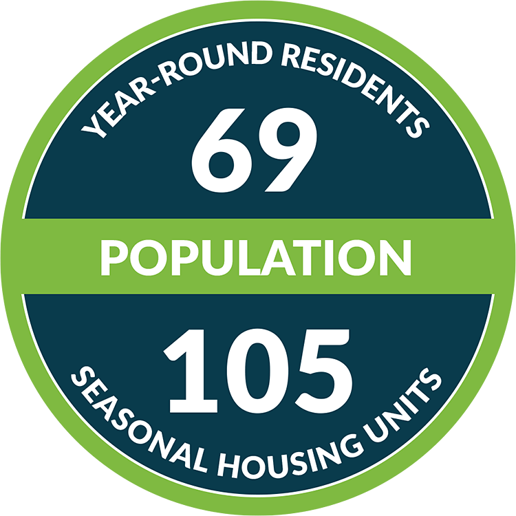
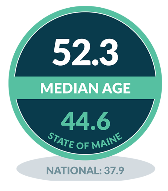
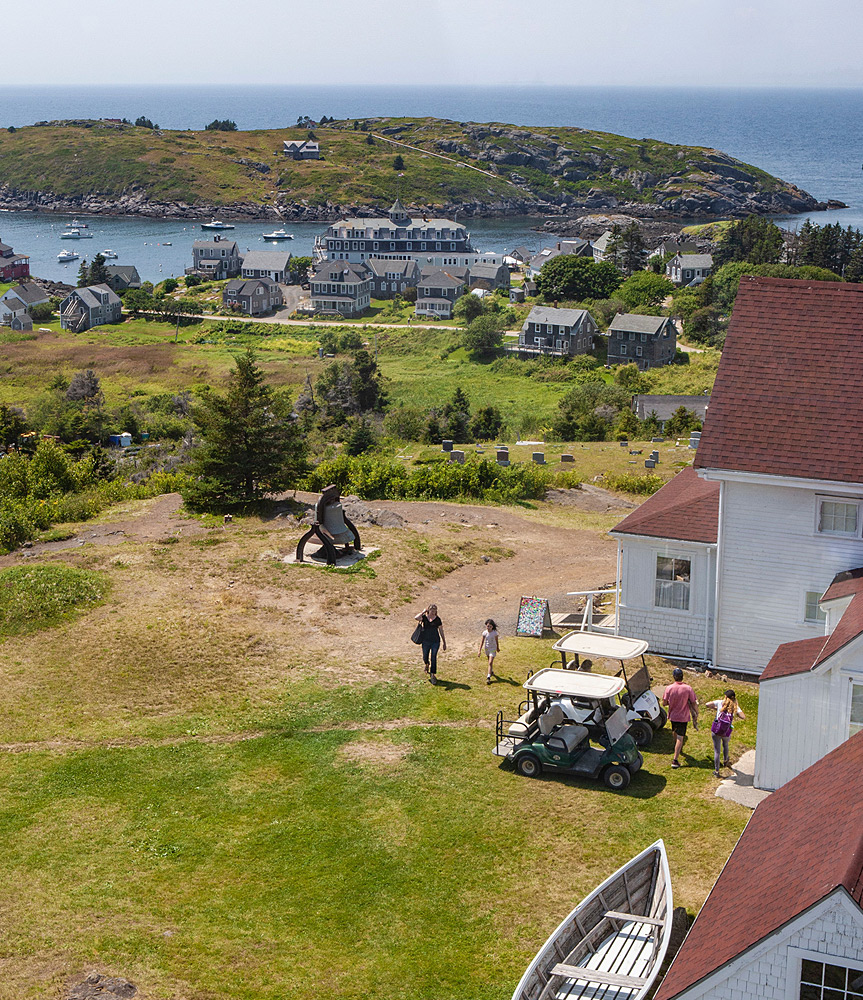
Monhegan island is located in Muscongus Bay, 10 miles off the nearest mainland with only about a square mile of area in total. With 12 miles of trails located on its beautiful cliffs, Monhegan is a natural playground. The population blossoms in the summer with seasonal residents and day trippers, including many artists and bird watchers. Monhegan artists show their work at the locally owned Lupine Gallery.
COMMUNITY HIGHLIGHTS
- Island Farm Project
- Monhegan Associates trail system
- Lobster Cove and Whitehead
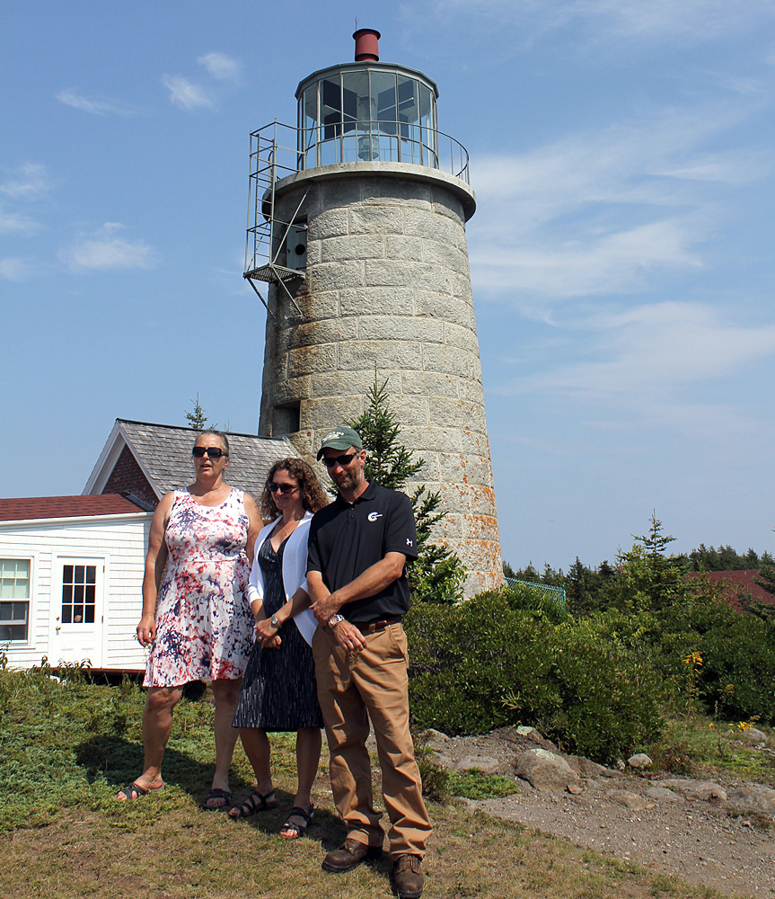
- Monhegan Lighthouse
- Monhegan Island Sustainable Community Association
- Monhegan Memorial Library
- Monhegan Museum of Art & History
- Monhegan Volunteer Fire Department
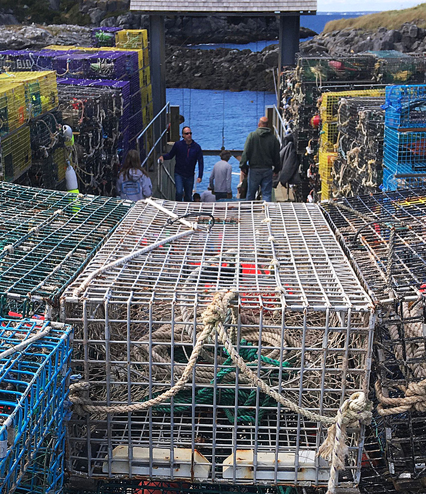
- Trap Day
- Swim Beach
- Winter Works craft cooperative


ECONOMY
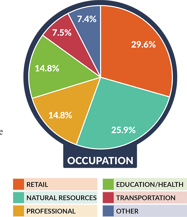
Monhegan’s economy is driven by tourism more now than in the past with almost 30% of people working in retail. This is in part due to Monhegan’s unique winter lobstering season that is designed to prevent overfishing and a summer tourism economy. As a result, most year-rounders are engaged in multiple economic sectors throughout the year.
SCHOOL SYSTEM
The Monhegan School serves pre-K through 8th grade students in their one-room schoolhouse. From a young age, students are encouraged to seek out subjects they are passionate about. The school participates in the Outer Islands Teaching & Learning Collaborative to connect virtually with peers on other small islands. After 8th grade, students typically go to boarding schools on the mainland.

LOCAL INFRASTRUCTURE
Sea Level Rise
A breakwater protects the only year-round, all-weather wharf for Monhegan. With increased storm damage and sea level rise, the breakwater is at risk of failing, with the most recent significant damage occurring in 2015. Monhegan is working on a Sea Level Rise resiliency plan for the breakwater and the other infrastructure that is at risk.
Municipal Broadband
Community surveying concluded that having high- quality connection to reliable, high-speed internet is essential to business and visitor activity, as well as ensuring access to 21st century educational and health resources. A community committee has been working toward a solution to connect the entire island to broadband. In 2019 they obtained an infrastructure design, and in early 2020 were awarded a USDA grant for network construction funding.
Energy
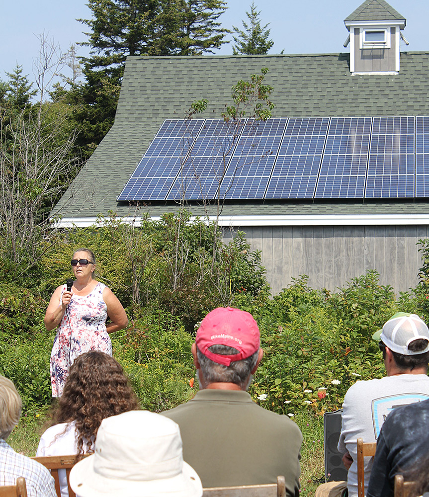
Without a grid tie to the mainland, the quasi-municipal Monhegan Plantation Power District historically generated all of the community’s electricity with diesel fuel. In 2016, a power station upgrade that includes a solar array and cleaner burning microturbines significantly reduced emissions. Islanders have also significantly reduced their electricity and heating use though community-wide initiatives for weatherization and lighting upgrades. *Through participation in the Home Energy Savings Program.
86% of
year-round homes
are weatherized
How to get there
In the summer, Monhegan can be reached from three ports: Port Clyde (60 min ride), New Harbor (50 min ride), and Boothbay Harbor (90 min ride). In the winter, the only year-round access is with Monhegan Boat Line three times a week out of Port Clyde. These are passenger ferries only. Monhegan has approximately two miles of dirt road, on which visitors primarily travel on foot, although there is some motorized traffic to be aware of while walking on the island roads.
FORE MORE DATA ON MAINE’S ISLAND AND COASTAL COMMUNITIES VISIT:
www.islandinstitute.org/waypoints
FOR DATA QUESTIONS, CONTACT:
info@islandinstitute.org
With gratitude to our community reviewers: Carley Feibusch, Mott Feibusch, and Tara Hire